Elkhart Catalyst
The Elkhart Catalyst Educational Ecosystem tripled in size and featured a 2:1 ratio of high school to college students. Interns worked on projects relating to topics ranging from environmental urban sustainability to neighborhood connection and vibrancy.

Elkhart River Data Lab Project
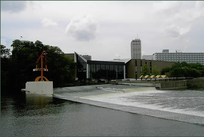
The purpose of this project was to design a system to collect data from the Elkhart River before and after the reduction of the low-head dam along Waterfall Drive. The stage sensor has been installed, and the Arduino monitoring system will be implemented into the Elkhart Central High School curriculum for environmental science classes, where students can report and view the data in a community-accessible database.

Elkhart Sustainable Transport Project
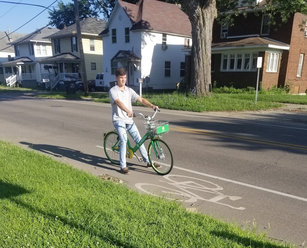
The goal of the sustainable transportation team was to promote bike and pedestrian safety/accessibility in Elkhart County community. Through insights from the survey, a brochure was created to increase awareness for cyclists, inform residents of the City of Elkhart’s bike and pedestrian laws, and safety tips. Additional reflective lights for backpacks, helmets, and other cycling materials were also distributed to increase safety in our community.

Neighborhood Connectivity Project
The mission of the neighborhood connectivity project was to place Wi-Fi in underserved neighborhoods in the City of Elkhart. The Mary Beck Neighborhood and the surrounding parks were selected for the pilot program. Currently, there are fiber optic lines near Mary Beck as well as several stop lights that we can use to create a broad area of Wi-Fi connection.

Urban Sustainability and Resilience Project
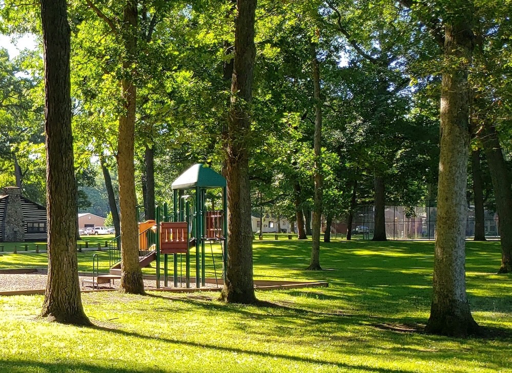
The goal of the urban sustainability project was to redevelop the lot to be used as an educational playground and be a hands-on educational experience for surrounding urban residents. Students worked closely with Jamison Czarnecki, Director of EEC to formulate ideas, engage the community, and develop a budget. The team delivered a comprehensive plan including a 3D digital model, budget, and potential funding options.

Vacant Lot Mapping and Solutions Project
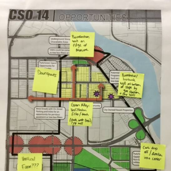
The mission of the vacant lot mapping and solutions project was to identify possible future development sites by mapping vacant lot conditions in the Tolson and Sterling East neighborhoods. The data from our project will be used by the city to investigate housing development in Tolson and develop green space in the Sterling East floodplain.